I recently had the pleasure of spending a week in the company of some really smart ULI colleagues working on an Advisory Panel in St. Tammany Parish (the equivalent of a county), across Lake Pontchartrain from New Orleans. We were working on resilience planning for the community. Resilience—the new buzzword in planning—has come to replace sustainability as the benchmark of responsible planning in the face of climate change-driven adaptations to weather and other severe disruptive events in urban centers.
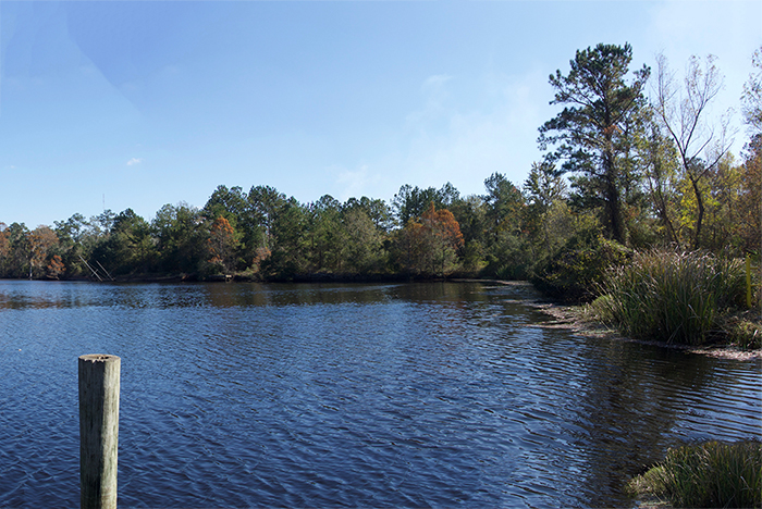
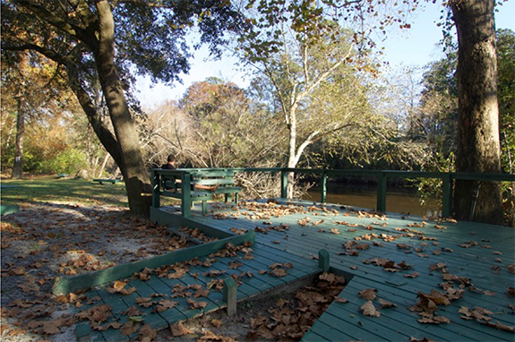
St. Tammany Parish is confronting both the opportunities and challenges of growth, particularly in an ecological context that is challenging for urban development. Originally a resource center for logging and other materials to support New Orleans’ growth in the 18th and 19th centuries, the rivers, swamps and bayous of St. Tammany have more recently seen intense suburban growth, fueled in part by the Katrina-driven exodus from New Orleans. This has brought the predictable problems associated with this kind of development—traffic congestion, environmental challenges and a loss of local character. This is all further complicated by the parish’s natural condition, which is defined by water as much as land and as a result, is highly vulnerability to storm surges and flooding.
At its heart, the ULI Advisory Panel process is a case study of what we at Strada call PlaceMapping. It is a five-day, intensive process that requires the team to quickly arrive at a deep understanding of a particular place and the given design or planning challenge and propose a solution. It is highly collaborative and human-centered, depending ultimately on the successful synthesis that emerges from a group of smart, experienced people coming at a problem from diverse perspectives informed by different disciplines. Sound familiar, Stradiste?!
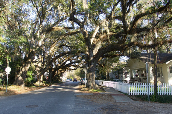
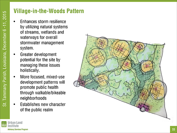
The panel process itself was a memorable intersection of people and place. Staying at a newly restored historic hotel located in the heart of Covington, a traditional small town founded in 1813, with great character (and coffeeshops and restaurants) made the location invigorating and inspirational. This locale was in sharp contrast to the planning assignment, which turned out to be about controlling the runaway sprawl following the typical American pattern, but exacerbated by the influx of new residents driven out of New Orleans by Katrina, that climate change-driven storm event. Not surprisingly, our final recommendations focused on redirecting growth using ecologically-sensitive, place-based solutions that concentrate new development in new mixed-use “villages in the woods,” which could draw inspiration from existing traditional towns like Covington.
But it was the people who made the planning exercise exceptional. The whole team was so open and collaborative—and fun—that it was special. And it was a particular treat to work with a diverse and talented team that included some really bright young professionals, in addition to more seasoned experts.
There were times during the week that I wondered if we were really accomplishing much, but the sponsors’ reactions suggest that we really “got” St. Tammany and what they need to do to succeed. Now it’s up to them. If they get it done, St. Tammany will be a real national model.
Click here to see the STP Advisory Service Panel Final Presentation.